SURVEYS
“Using state-of-the-art aircraft and high-resolution cameras, the London Drone Company captures highly-accurate survey data from the most challenging or inaccessible location in the most expedient and cost effective way”
Company Director, Ross Turner, and his team have many years experience in both surveying and building management and apply our expert construction knowledge in association with drone aerial imagery to provide pixel perfect footage.
Knowledge of building structures and the problems they can encounter ensures that the data capture process focuses quickly and accurately on the areas that matter.
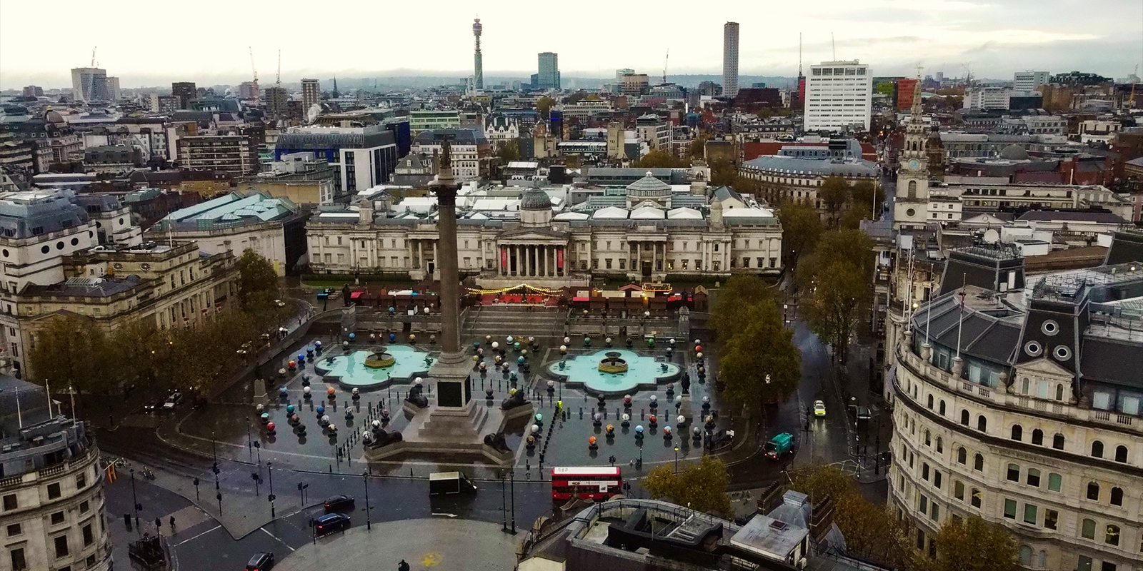
We include film and TV work in our portfolio, with a comprehensive library of London skyline shots. We were credited on Channel 5’s “Adele’s’ 30 Greatest Moments” for aerial footage used in the programme. We have provided aerial footage for many promotional videos and advertisements.
London Drone Company are happy to fly in both interior and exterior environments.
At London Drone Company, we use proprietary equipment from DJI and Parrot including:
Programmes and Apps include:
To produce data sets that can be imported into CAD and BIM to create full photographic quality imagery in technical documents and animations.